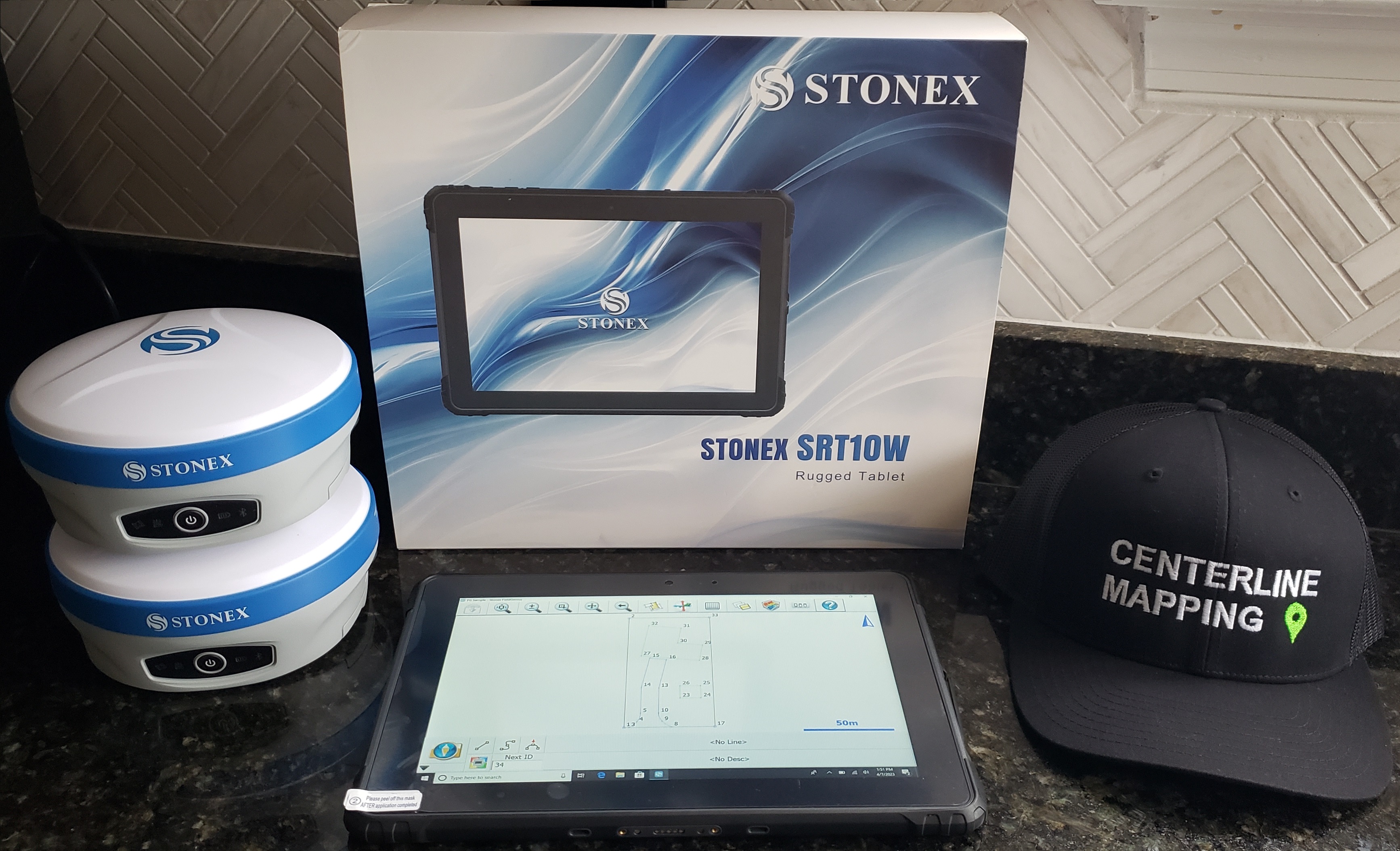
New Products In Stock NOW


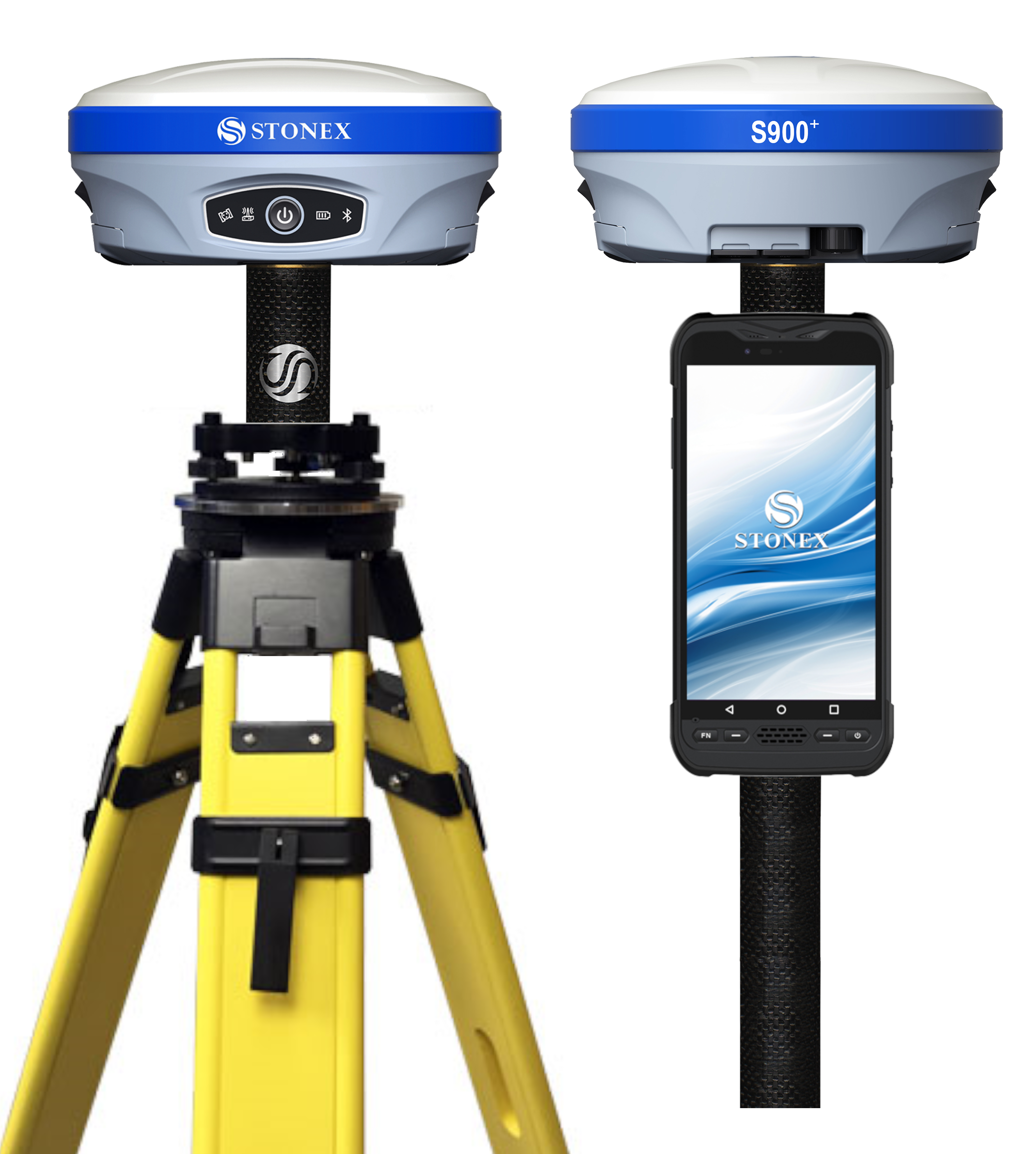
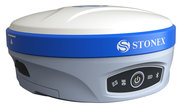
S900+ GNSS Receiver


Available Now


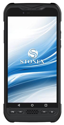
UT12P Rugged Tablet


Available Now

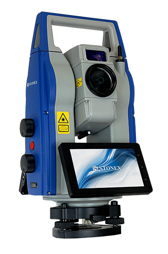
R180 Robotic TS


Available Now


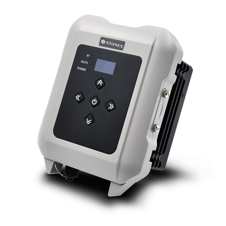
SR35 External Radio


Available Now

Base & Rover Combos
Combo includes the following items:
  • (2) S900+ RTK GNSS Receivers
  • (4) Smart Hot-Swappable Batteries (2) per receiver
  • (1) Rugged Android UT12P Data Collector + Bracket
  • (2) UHF Antennas for using Internal Radio
  • (2) UHF and IMU Activations - Tilt up to 60°
  • (1) Cube-a V6 GPS Software License (perpetual)
This exact setup is tried, trusted, and used by licensed surveyors, civil engineers, drone pilots, GIS professionals, and SUE technicians around the country and proves to be an extremely advanced, affordable, and reliable solution for Land Surveying, Utility Mapping, SUE, Construction Stakeout, Grade Checking, GIS, GPR and UAV positioning, elevation and geodetic control, so much More! We also offer additional software such as MicroSurvey FieldGenius on Windows and Android. Larger android and windows 10 tablets are available upon request! Accessories sold separately. (tripods, bipods, survey poles, vests, etc).


Call Today For An Instant Quote!

757.647.7016


Working with utilities, facilities, & private property owners to help them reduce damages, increase jobsite safety, and maximize profit margins.
MAJOR PROBLEMS IN THE INDUSTRY

$30,000,000,000 in Damages

In 2019 alone, between the US and Canada, 400,000+ utility damage incidents were reported, resulting in a societal impact of $30,000,000,000. That's a problem.


Lack of Utility Documentation

Over the lifespan of a utility, facility, & private property, original as-builts become old, outdated, inaccurate, and missing. This leads to unmarked utilities & damages.


Zero Education & Training

Technology is moving faster than the textbooks & teachers can keep up. With continuous research & development, our training programs bridge the gap.

OUR SOLUTIONS


Our Services

Utility Damage Prevention

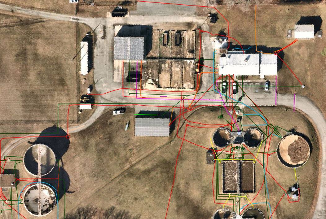
Up to 75% of all utilities on private property are privately owned, meaning they will not be marked by 811 Miss Utility. Avoid costly damages & liabilities by hiring our team to mark private utilities prior to excavation. Along with utility locating, we provide services to survey & map utilities for future reference. Data can be integrated with existing maps, plats, & drawings as needed.

Learn More

Our Services

GIS Data Management Services

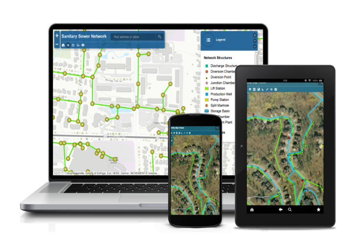
Manage & visualize your utility data with simple & easy-to-use web GIS applications. Convert old, outdated, & inaccurate paper as-builts and drawings into updated and accurate mapping applications - accessible on any device. Already have a GIS? We can help update the accuracy of the data - leading to less damages, improved planning, and effective operations.

Learn More


Our Services

Mapping Equipment & Training

Affordable surveying and mapping products for land surveying, subsurface utility engineering, utility mapping, construction layout, drone operations, civil engineering, GIS, and more. We offer and provide product configuration, training, technical support, & friendly consulting, enabling teams to maximize productivity with advanced, cutting-edge equipment.

Learn More


Contact Us!


Have a question about utility mapping?
Fill out this form or:

Email: tyler@centerlinemapping.com
Call: 757-647-7016