Become A Utility Surveying & Mapping Professional
Centerline Mapping offers a variety of online or blended training programs to help you achieve your educational goals.
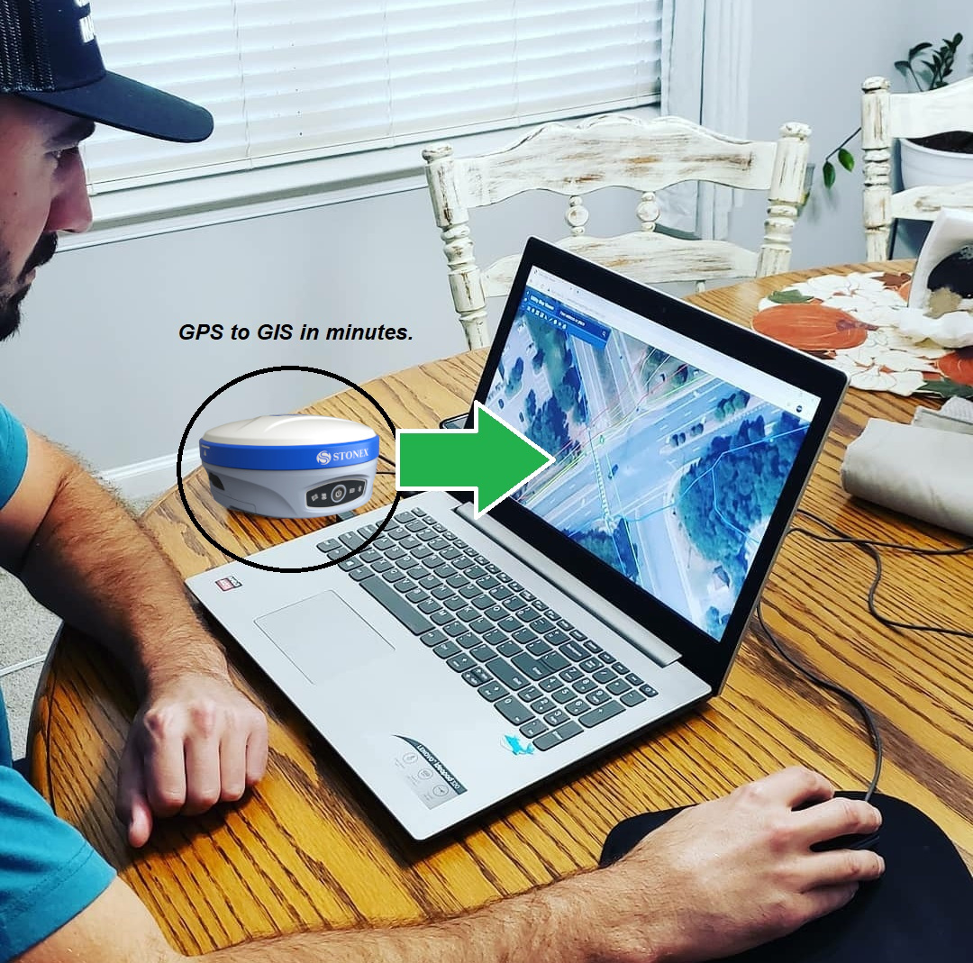
With virtual instructor-led training, you can advance your career in utility surveying, mapping, and GIS through interactive education, enjoy
flexible scheduling and smaller classes taught by faculty experts, and learn in your own office or home setting that utilizes the
latest technology to provide you and your team with the support and resources to become more successful.
Achieve your goals from anywhere with Centerline Mapping.
Explore Online Training Courses
| Course |
Length |
Price |
| Getting to Know PointMan Plus |
1 hr |
$175/person |
| Collecting Data using PointMan Plus |
1 hr |
$175/person |
| Getting Started with Desktop GIS |
1 hr |
$175/person |
| Mapping & Managing Data with Desktop GIS |
1 hr |
$175/person |
| Getting Started with Cloud GIS |
1 hr |
$175/person |
| Building 2D & 3D Apps with Cloud GIS |
1 hr |
$175/person |
| Introduction to Augmented Reality |
1 hr |
$175/person |
| Configuring AR with GIS Data |
1 hr |
$175/person |
| You Pick - Tell Us What You Want to Learn |
1 hr |
$175/person |
Schedule a training with Tyler Bristow today! Send an email to tyler@centerlinemapping.com to schedule training with our team.