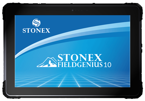


FieldGenius for Windows 10
Field Software Solutions
FieldGenius for Windows 10
Field Software Solutions
Thank you for your interest in FieldGenius – the most productive and easy-to-use surveying, mapping, stakeout, & data collection software solution ever.
If you are new to FieldGenius, you will be impressed by its graphic user interface, one-screen graphical stakeouts, powerful COGO tools, DXF file support, streamlined connection to your instrument or computer, multi-point resections, roading, training movies, and the easiest, most powerful linework tools in the industry.
FieldGenius supports all common RTK GNSS and generic NMEA receivers, as well as all standard and robotic total stations. With direct support for LandXML, you can stake to DTM surfaces or cross sections from your designed alignment. Real time surface generation allows you to compute volumes instantly.
FieldGenius provides advanced features such as tilt compensation, RTK corrections, GIS attribute collection, COGO, file import/export, and more.
Price: Call or Email for a Quote!
Questions? Contact Tyler Bristow | 757.647.7016 | tyler@centerlinemapping.com