Join Us Virtually for
Utility Mapping
Bootcamp!

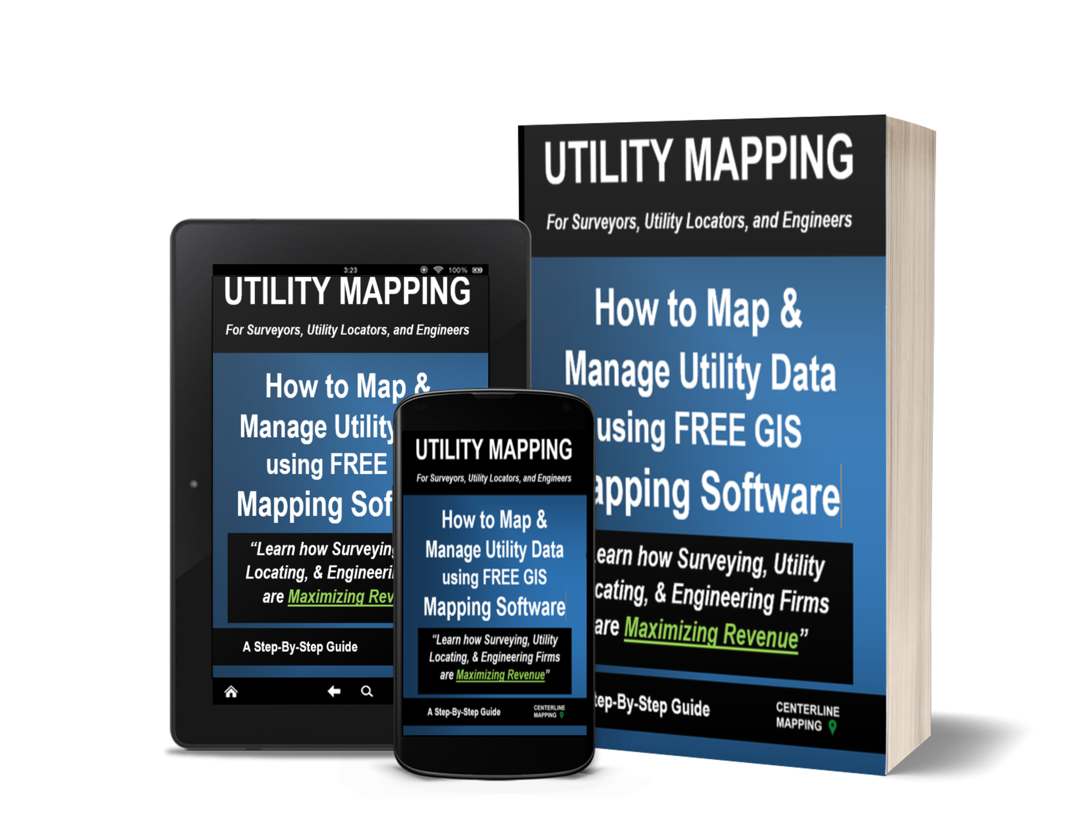
Learn the most proven method to map and manage utility data and 10X your business.


Instructor-Led GIS Training

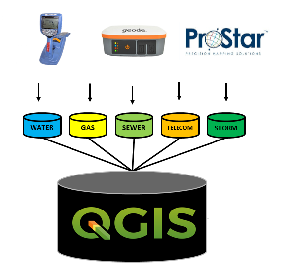
Our hands-on, instructor-led training teaches students how to map and manage utility data using free open source GIS mapping technology. 
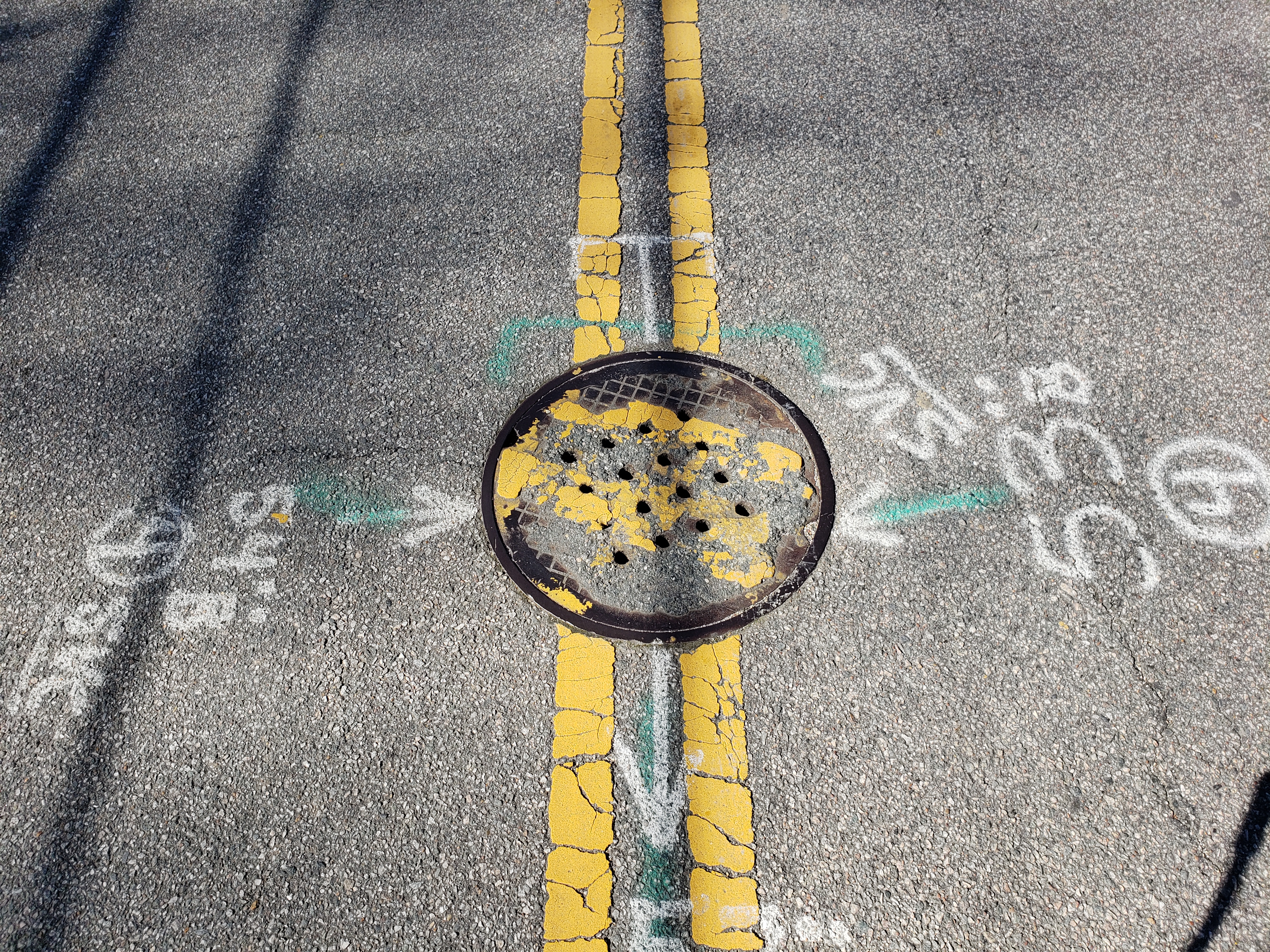
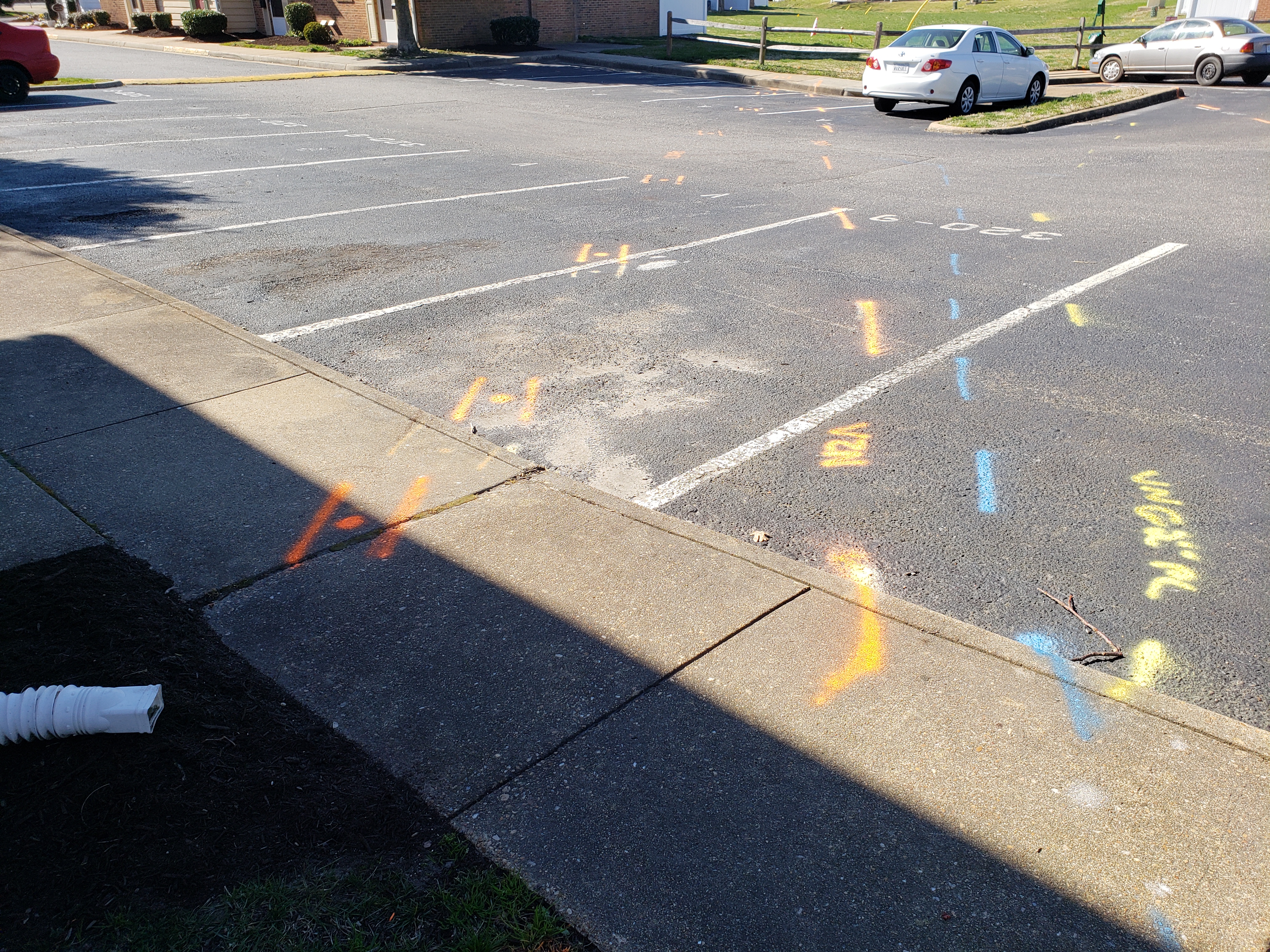
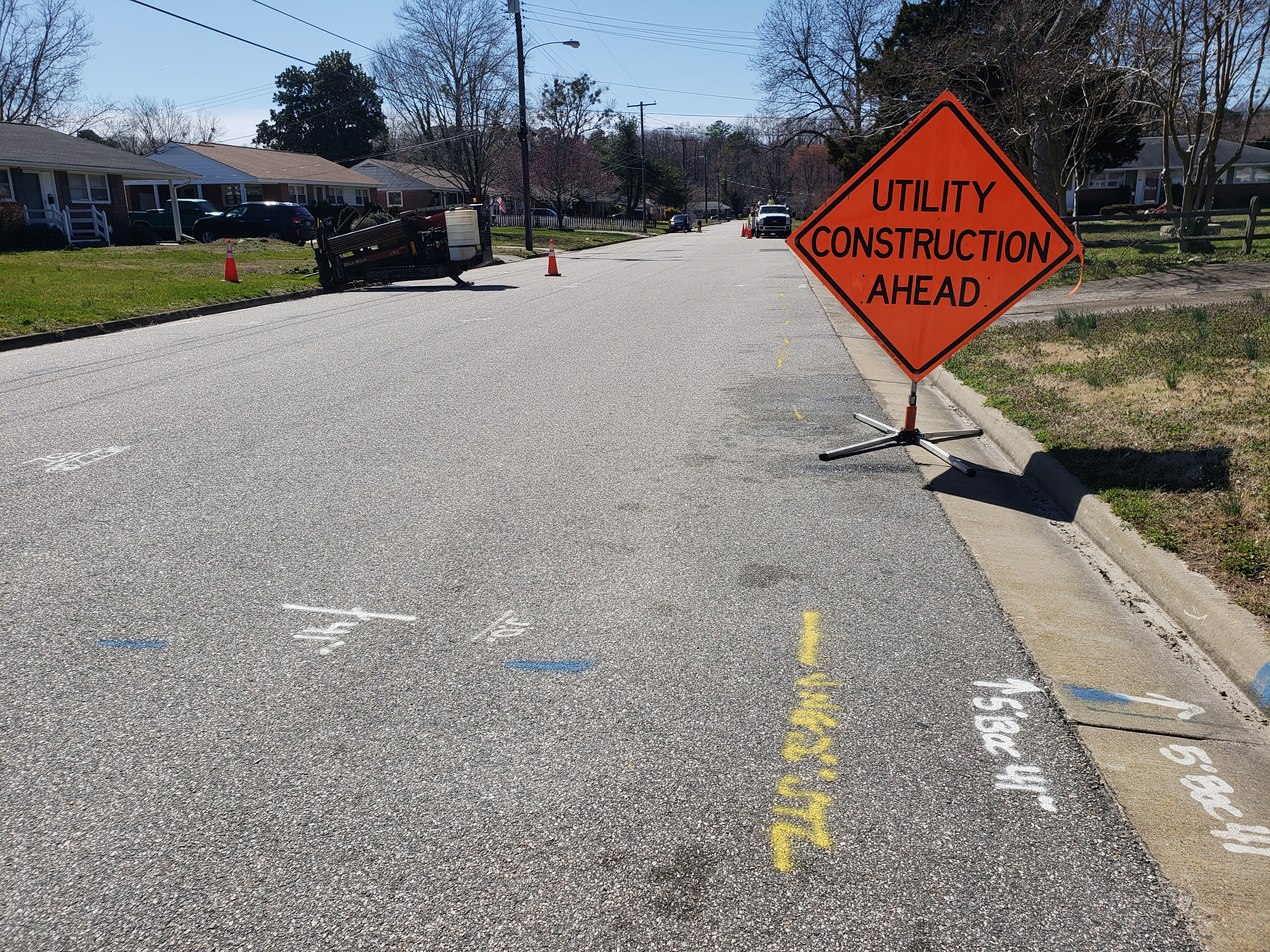
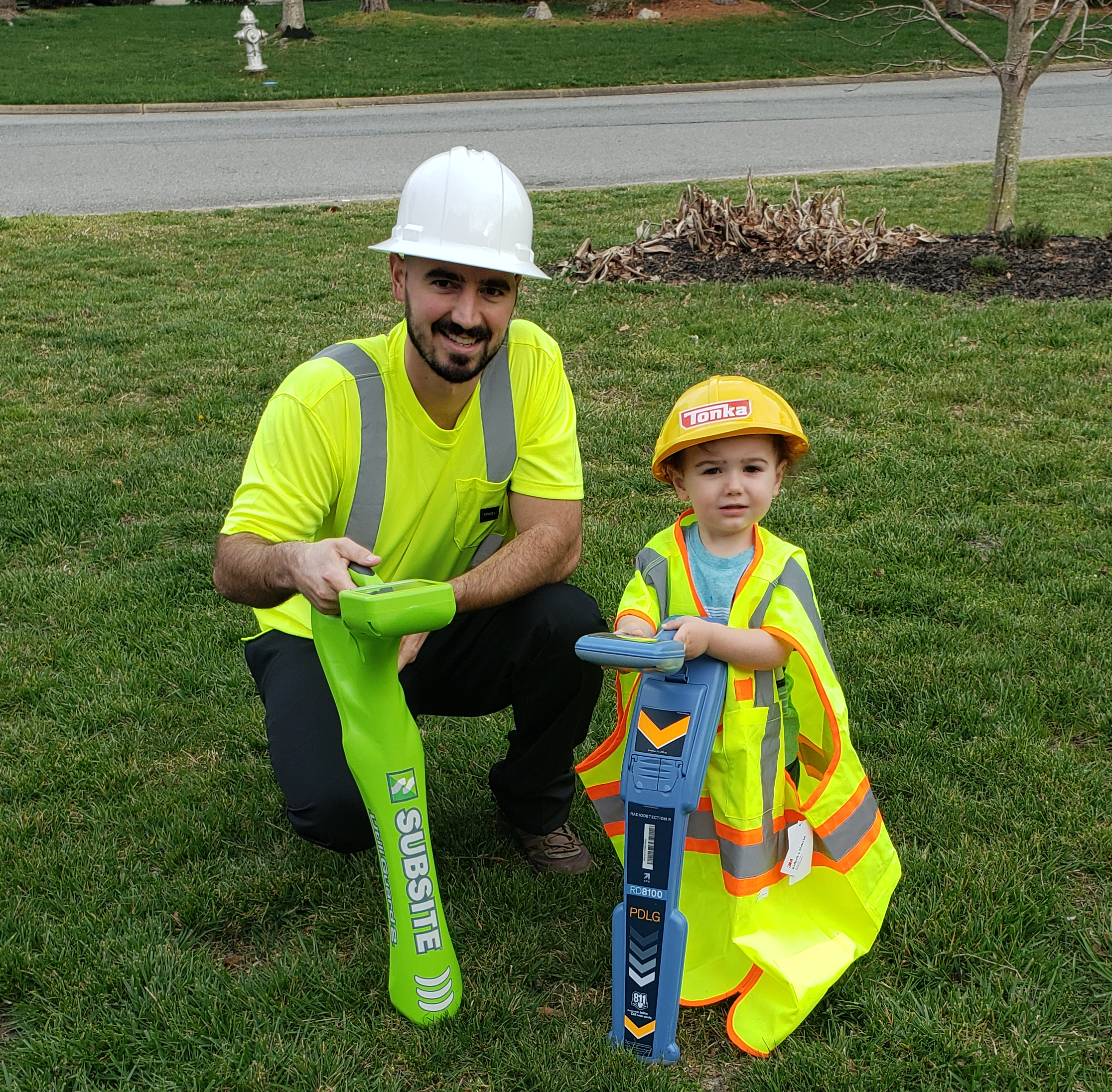
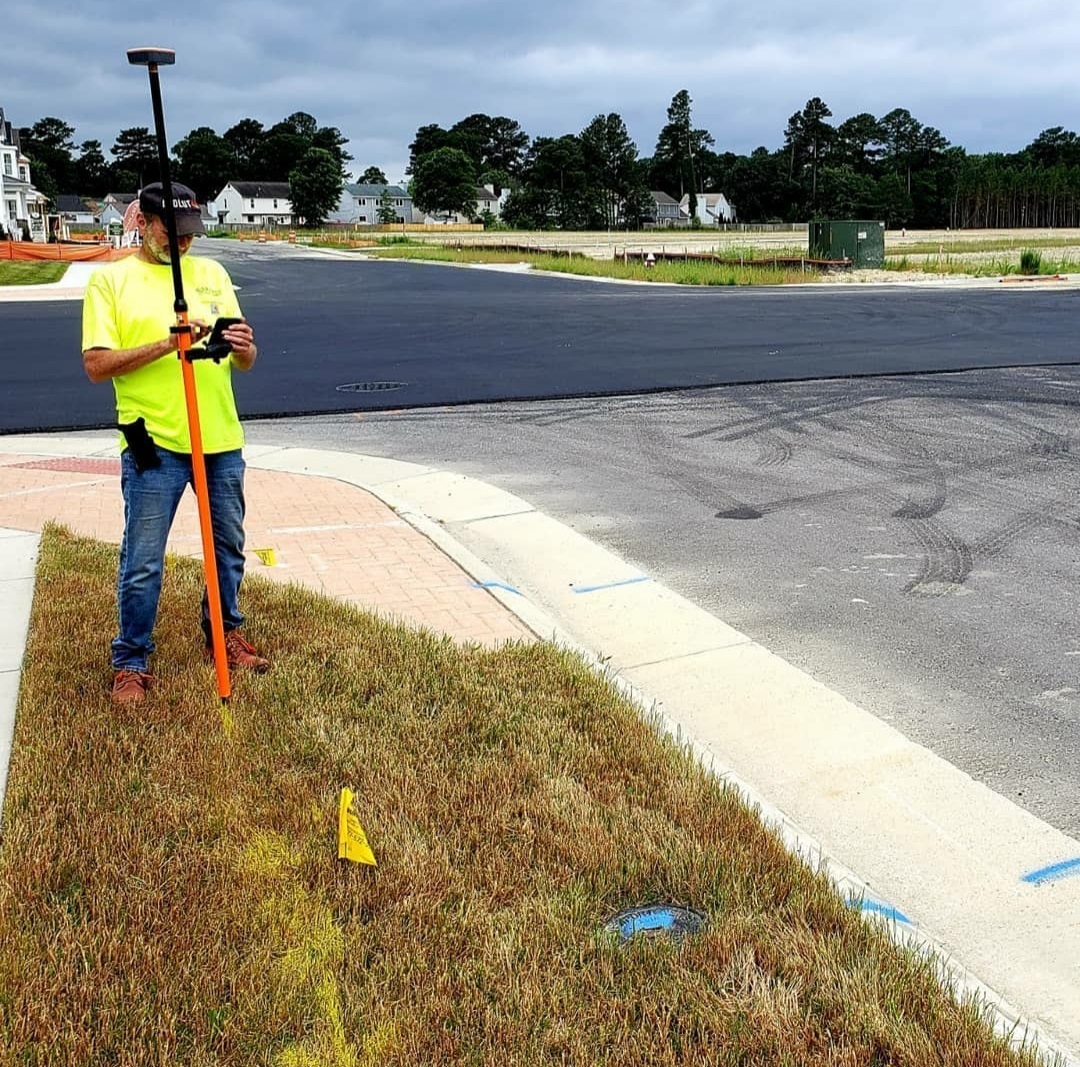
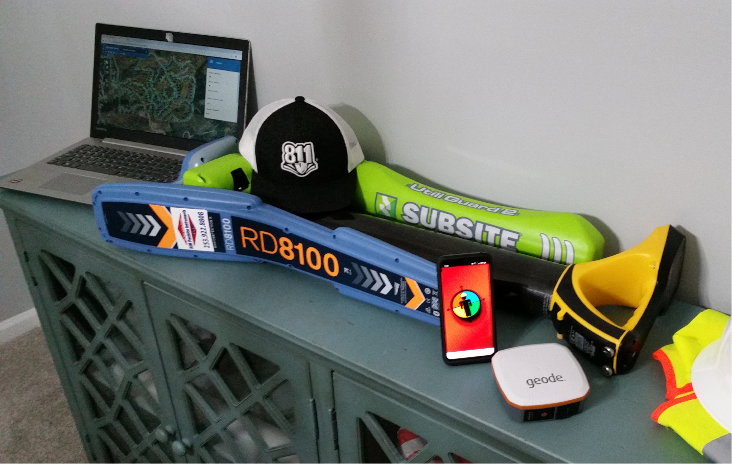
Together, we discover the process of converting GPS files collected using EML, GPR, and GPS hardware and software including (but not limited to RD8100, Utiliguard 2, vLocPro2, & PointMan) to GIS datasets using desktop software, generating PDF maps, exporting various file formats for Google Earth or CAD, 
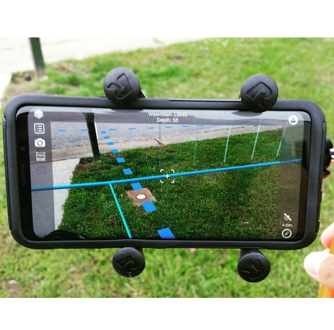
and then building web-based Utility Map Viewers to access and share utility maps and data in the office and field. We touch on the latest and greatest Augmented Reality software and how you can get started. No prior GIS experience necessary.
Why You Should Join This Workshop?

Our lectures are given by highly qualified and certified GIS professionals with extensive GPS, GIS, & Utility Mapping training and experience.


This course gives you the absolute best, instructor-led, hands-on experience.


Students use the latest and greatest industry-leading GIS, GPS, & AR technology.


Gain exposure to the most advanced & affordable GIS implementation strategies & tools.


What We Cover
Training Class Schedule

1. Introduction to GIS
2. Install Mapping Software
3. Create GIS Files
4. Symbolize Utility Data
5. Add GPS Field Data to Map
6. Digitize and Map Utilities
7. Create & Export PDF Maps
8. Upload Data to a Web Map
9. Build Utility Map Viewer
10. Explore GIS Capabilities


Meet Your Instructor
Tyler Bristow
Tyler Bristow is a certified GIS Professional (GISP) with over 10 years of experience providing GIS consulting for local and federal governments, mid-sized municipalities, and large industrial facilities using various GPS and GIS technology. Tyler provides utility mapping consulting and training for utility companies, locating firms, surveyors, and civil engineers. His son Sawyer serves as VP and keeps the team in line. Are you ready to learn?

Browse Training Dates

Learn A Complete Workflow to Map & Model Your Entire Facility & Utilities


Data Collection

High Accuracy GPS


Data Management

Cloud GIS Software


Data Visualization

3D + Augmented Reality


Pricing for Groups and Individuals
1 Person Group of 2 Group of 3 Group of 4+
$ 297 $ 397 $ 497 Custom
2 hrs 2.5 hrs 3 hrs 4+ hrs

Interested in a private workshop for your company?

Schedule a 15-minute training consultation, so we can learn more about each other and determine if we are a good fit. This is a no-obligation consultation. We look forward to hearing from you.

Book a Consultation


Virtual Training Cancellation Policy
Receive 90% refund when you cancel within 2 weeks of training date. Cancel within 2 weeks to 2 days of class, a 50% refund. No refund within 48 hours. You may choose to reschedule and apply full funds to a future class at any time. If students choose to receive the training package early, and then cancel their class - the training package cost is NOT refundable from the cost of training.